
3D Digital Twins of Indian Cities: IN-SPACe & UPSC 2027
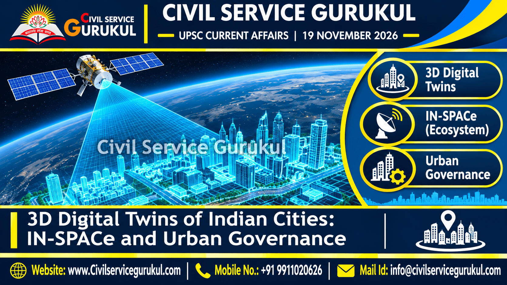
3D Digital Twins of Indian Cities: How Space Technology Could Transform Urban Planning and Governance
A comprehensive UPSC analysis of IN-SPACe, satellite imagery, photogrammetry, geospatial technology, digital twins, smart city planning, disaster management and urban data governance.
1. Why Are 3D Digital Twins of Indian Cities in the News?
A November 2026 current-affairs topic has highlighted the reported selection of three firms by IN-SPACe for urban 3D reconstruction.
The development draws attention to the growing role of space technology, private-sector innovation and geospatial data in urban governance.
Digital models of cities can support planning, infrastructure management and disaster-risk assessment.
2. What Is a Digital Twin?
A digital twin is a digital representation of a physical object, system or environment that is linked to relevant real-world information and processes.
Digital twins may be used to monitor conditions, analyse scenarios and support decision-making.
Their capabilities depend on the quality, frequency and integration of underlying data.
3. What Is a 3D Digital Twin of a City?
A 3D city digital twin represents urban buildings, roads, terrain and other infrastructure in a three-dimensional digital environment.
When integrated with relevant operational data, such models can support simulation and urban management.
Digital Twin vs Static 3D Map
| Parameter | Static 3D Map | Digital Twin |
|---|---|---|
| Basic Purpose | Visual representation of physical features. | Digital representation linked to relevant real-world information. |
| Data Updates | May remain unchanged until manually revised. | May incorporate periodic or continuous updates depending on design. |
| Simulation | Not necessarily included. | Can support simulation and scenario analysis. |
| Operational Integration | May be limited. | Can connect with relevant operational systems. |
4. What Is IN-SPACe?
IN-SPACe stands for Indian National Space Promotion and Authorisation Centre.
It is an institution created to promote, authorise and supervise non-government entities in India's space sector.
It supports the participation of private companies and other eligible non-government entities in space activities.
5. Why Is IN-SPACe Important?
Encourages non-government entities to participate in space activities.
Supports the growth of space technologies and services.
Helps develop a broader space industry.
Space-derived data can support public and commercial applications.
6. IN-SPACe and ISRO: Understanding the Difference
| Institution | Broad Role |
|---|---|
| ISRO | India's national space agency, responsible for major space research and mission activities. |
| IN-SPACe | Promotes, authorises and supervises non-government entities in the space sector. |
7. Technologies Behind 3D City Digital Twins
Satellite Imagery
Satellite imagery provides observations of the Earth's surface that can support mapping and monitoring.
Photogrammetry
Photogrammetry uses overlapping images to estimate the shape, dimensions and position of physical features.
Geographic Information Systems
GIS is used to capture, manage, analyse and visualise geographically referenced data.
Remote Sensing
Remote sensing involves obtaining information about objects or areas without direct physical contact, often through satellite or airborne sensors.
Sensor and Operational Data
Where available and appropriate, sensor readings and administrative information can help connect digital models with changing real-world conditions.
8. How Is a City Digital Twin Developed?
- Collect geospatial observations and relevant infrastructure data.
- Process imagery and other spatial datasets.
- Create a three-dimensional urban model.
- Integrate relevant operational or administrative information.
- Validate model accuracy and completeness.
- Use the model for analysis, simulation and planning.
- Update datasets according to operational requirements.
9. Applications of Digital Twins in Urban Governance
Evaluate land use, infrastructure and development scenarios.
Support modelling of flood-prone areas and drainage conditions.
Improve visibility of assets and maintenance priorities.
Support scenario analysis and emergency planning.
Assess road networks, connectivity and possible interventions.
Integrate relevant data to study urban environmental conditions.
10. Digital Twins and Flood Management
Flood management requires understanding terrain, drainage networks, rainfall and other relevant conditions.
A digital twin can combine appropriate datasets to support scenario analysis and planning.
However, model reliability depends on the quality of data and the assumptions used.
11. Digital Twins and Infrastructure Maintenance
Urban infrastructure includes roads, bridges, drainage systems and public utilities.
A digital model linked to reliable asset information can help municipalities identify maintenance requirements and coordinate work.
12. Digital Twins and Disaster Preparedness
Digital twins may support the evaluation of emergency scenarios and the planning of response routes.
They should complement, rather than replace, field-level verification and professional judgement.
13. Challenges in Urban Digital Twin Implementation
Incorrect or outdated information can reduce model reliability.
Sensitive infrastructure information requires appropriate protection.
High-resolution datasets may raise concerns about personal information.
Local bodies need trained staff and technical resources.
Different data systems may not integrate easily.
Implementation requires transparent contracting and sustainable financing.
14. Why Is Data Accuracy Important?
Urban digital twins depend on the quality of their input data.
Inaccurate building, road or drainage data can lead to unreliable simulations and poor planning decisions.
Regular validation and clear quality standards are therefore essential.
15. Why Is Interoperability Important?
Urban governance often involves multiple agencies and information systems.
Interoperability allows relevant systems to exchange and use information more effectively.
Open standards, where appropriate, can reduce technical fragmentation and vendor dependence.
16. Privacy and Security Concerns
High-resolution urban mapping may involve information about buildings, infrastructure and other sensitive features.
Data governance should therefore address access controls, cybersecurity, appropriate disclosure and privacy safeguards.
Public authorities should balance useful data sharing with legitimate security and privacy concerns.
17. Ethical Dimensions for GS Paper IV
- Transparency: Public agencies should explain how digital models inform decisions.
- Accountability: Officials must remain responsible for administrative outcomes.
- Fairness: Benefits should not be restricted to digitally advanced municipalities.
- Privacy: Personal information should receive appropriate protection.
- Public Interest: Technology should address real urban needs rather than become an end in itself.
18. Digital Twins and Inclusive Urban Development
Technology-based urban planning should consider the needs of all residents, including communities with limited access to digital services.
Public consultation, accessible grievance redress and transparent planning can help improve equity.
Municipal capacity building is important to ensure that smaller and resource-constrained cities are not excluded.
19. Way Forward for Urban Digital Twins in India
- Verify project details: Use official IN-SPACe notices for selection and contractual information.
- Define public objectives: Identify measurable urban problems before procuring technology.
- Strengthen data quality: Establish validation and update procedures.
- Protect privacy: Use appropriate access controls and data safeguards.
- Improve interoperability: Encourage compatible standards and systems.
- Build municipal capacity: Train officials and support long-term operations.
- Ensure transparency: Use accountable procurement and independent evaluation.
- Promote inclusion: Ensure smaller municipalities can access useful technology.
20. UPSC Prelims 2027: Quick Revision
- IN-SPACe promotes, authorises and supervises non-government entities in India's space sector.
- ISRO is India's national space agency.
- A digital twin represents a physical system using relevant digital information.
- A static 3D model is not automatically a live digital twin.
- Digital twins may use periodic or continuous data updates.
- Satellite imagery supports Earth observation and mapping.
- Photogrammetry uses overlapping images to estimate physical geometry.
- GIS manages and analyses geographically referenced information.
- Remote sensing obtains information without direct physical contact.
- Digital twins can support flood analysis, infrastructure planning and disaster preparedness.
- Data accuracy, cybersecurity, privacy and interoperability are major governance concerns.
21. Original UPSC Prelims MCQs
Question 1
Consider the following statements:
- IN-SPACe promotes non-government participation in India's space sector.
- IN-SPACe is identical to ISRO in institutional role.
- Geospatial applications can support urban planning.
Which statements are correct?
(A) 1 only
(B) 1 and 3 only
(C) 2 and 3 only
(D) 1, 2 and 3
IN-SPACe supports non-government participation. ISRO and IN-SPACe have different institutional roles.
Question 2
Which statement best describes a digital twin?
(A) Every static 3D map is automatically a live digital twin.
(B) A digital representation linked to relevant real-world information and processes.
(C) A technology used exclusively for satellite launches.
(D) A system that never requires updated data.
A digital twin connects a digital representation with relevant information about the physical system.
Question 3
Consider the following statements:
- Photogrammetry can estimate geometry from overlapping images.
- GIS can analyse geographically referenced data.
- Remote sensing always requires direct physical contact with the object being observed.
Which statements are correct?
(A) 1 and 2 only
(B) 2 and 3 only
(C) 1 and 3 only
(D) 1, 2 and 3
Remote sensing obtains information without direct physical contact.
Question 4
Which of the following are potential applications of urban digital twins?
- Flood-risk assessment
- Infrastructure maintenance planning
- Disaster preparedness
- Transport planning
(A) 1 and 2 only
(B) 1, 2 and 3 only
(C) 2, 3 and 4 only
(D) 1, 2, 3 and 4
All four are potential applications when relevant data and analytical capabilities are available.
Question 5
Consider the following statements about urban digital twins:
- Data quality affects the reliability of simulations.
- High-resolution mapping can create privacy and security concerns.
- Digital twins automatically eliminate the need for municipal oversight.
Which statements are correct?
(A) 1 only
(B) 1 and 2 only
(C) 2 and 3 only
(D) 1, 2 and 3
Digital twins support decision-making but do not replace accountable municipal governance.
22. UPSC Mains Practice Question
"Urban digital twins can improve planning, infrastructure management and disaster resilience, but their success depends on effective data governance and institutional capacity." Discuss.
Word Limit: 250 words
23. Model UPSC Mains Answer
Introduction
Urban digital twins are digital representations of physical urban environments linked to relevant real-world information.
They can support data-driven planning and improve public service delivery.
Major Opportunities
- Urban Planning: Improved visualisation of land use and infrastructure.
- Disaster Management: Support for flood modelling and emergency planning.
- Infrastructure: Better asset monitoring and maintenance prioritisation.
- Governance: More informed and coordinated decision-making.
Major Challenges
- Data accuracy and incomplete datasets.
- Privacy and cybersecurity risks.
- Municipal skill and resource constraints.
- Interoperability and vendor dependence.
- Unequal access across cities.
Way Forward
India should strengthen data standards, privacy safeguards, municipal capacity, transparent procurement and independent evaluation.
Technology investments should be linked to measurable improvements in public services.
Conclusion
Urban digital twins can strengthen resilient and inclusive governance when combined with reliable data, public accountability and effective institutions.
24. Frequently Asked Questions
What is a 3D digital twin of a city?
It is a digital representation of an urban environment linked to relevant real-world information for analysis and management.
What is IN-SPACe?
IN-SPACe is the Indian National Space Promotion and Authorisation Centre.
Is every 3D city map a digital twin?
No. A static 3D map does not automatically provide the data integration and operational functions of a digital twin.
How can digital twins support disaster management?
They can support scenario analysis, flood-risk assessment and emergency planning when appropriate data are available.
Why is this topic important for UPSC?
It connects space-sector reforms, geospatial technology, urban governance, disaster management, privacy and public ethics.
25. Conclusion: From 3D Mapping to Smarter Urban Governance
Three-dimensional digital twins offer significant potential for modernising urban planning and infrastructure management.
Space-derived data, geospatial technologies and operational information can support more informed administrative decisions.
However, the public value of digital twins depends on accurate data, effective institutions, privacy protection, transparent procurement and inclusive access.
For UPSC aspirants, the central lesson is that technological innovation should be assessed through its real contribution to governance, resilience and public welfare.
Master Science & Technology, Governance and Current Affairs for UPSC 2027
Prepare with Civil Service Gurukul through current-affairs analysis, Prelims MCQs, Mains answer writing and structured mentoring.
CIVIL SERVICE GURUKUL
UPSC | IAS | State PCS | Prelims & Mains
Visit Our Website Call +91 9911020626 Email for Enquirywww.civilservicegurukul.com
Editorial Disclaimer: This original educational article expands upon a November 2026 current-affairs topic concerning 3D digital twins of Indian cities. The reported selection of three firms by IN-SPACe and the exact contractual scope have not been independently verified against official notices.
Prepare with Mentors Who Cleared the Exam
Get personalized study plans, evaluated answer models, and test series access.