
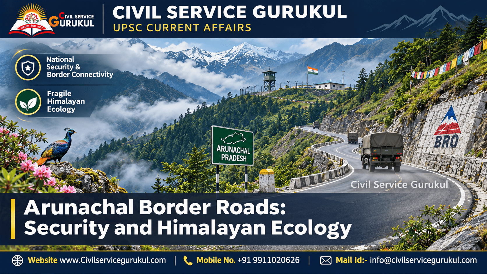
Executive Summary
Arunachal Pradesh occupies a strategically important position along India's disputed border with China.
Recent reporting in November 2026 has highlighted additional border infrastructure sanctioned by the Indo-Tibetan Border Police (ITBP), along with earlier reported clearance for the third phase of Indo-China Border Roads (ICBR-III).
According to the reporting, 26 roads are proposed along the Line of Actual Control in Arunachal Pradesh. These are planned roads, not 26 completed projects.
The Border Roads Organisation (BRO), including Project Arunank, has played an important role in improving strategic and civilian connectivity.
However, the eastern Himalayas are ecologically sensitive, with steep slopes, heavy rainfall, forests and landslide-prone terrain.
The central challenge is to strengthen national security and frontier development while ensuring environmentally responsible and disaster-resilient infrastructure.
Recent reports have described fresh ITBP border infrastructure proposals in Arunachal Pradesh amid continuing tensions along the India-China frontier.
The reports also state that the Cabinet Committee on Security cleared ICBR-III in February 2026, with 26 roads proposed in Arunachal Pradesh.
The complete ICBR-III project details had not been publicly confirmed through an official announcement in the reporting reviewed.
Project Arunank also marked its 19th Raising Day in October 2026, highlighting its role in improving last-mile connectivity.
1. Strategic Background of Arunachal Pradesh
Arunachal Pradesh is located in India's eastern Himalayan region and shares international boundaries with China, Bhutan and Myanmar.
Its northern frontier is strategically significant because of the unresolved India-China boundary dispute.
India administers Arunachal Pradesh as an integral part of the country, while China disputes India's sovereignty over the state.
Why Geography Matters
- Steep mountains restrict transport movement.
- Remote valleys complicate military logistics.
- Heavy rainfall affects road reliability.
- River crossings require durable bridges.
- Border settlements often face connectivity gaps.
- Weather conditions can disrupt supply routes.
Infrastructure in such terrain must support both operational mobility and long-term resilience.
2. Border Roads Organisation and Project Arunank
The Border Roads Organisation was established in 1960 and operates under the Ministry of Defence.
It develops and maintains strategically important roads, bridges and tunnels, particularly in difficult border regions.
Project Arunank
Project Arunank was established in October 2008 and is associated with strategic infrastructure development in Arunachal Pradesh.
Its responsibilities include improving road connectivity in remote regions and supporting transport infrastructure important for national security.
Key Functions
- Construction of strategic roads.
- Maintenance of critical routes.
- Development of bridges.
- Improvement of last-mile connectivity.
- Support for civilian transport.
- Restoration of infrastructure after disruptions.
BRO is an organisation under the Ministry of Defence. Project Arunank is one of its projects.
3. Major Strategic Infrastructure Projects
| Infrastructure | Key Feature | Strategic Importance |
|---|---|---|
| Sela Tunnel | Improves access towards Tawang | All-weather military and civilian movement |
| Nechiphu Tunnel | Bypasses fog-prone Nechiphu Pass | Safer transport and logistics |
| Hapoli–Sarli–Huri Road | Approximately 278 km | Remote connectivity in Arunachal Pradesh |
| Siyom Bridge | Strategic bridge infrastructure | Improved movement and connectivity |
| ICBR-III | Reported third phase of border road expansion | Planned frontier connectivity |
Sela Tunnel
The Sela Tunnel bypasses the high-altitude Sela Pass section, improving access towards Tawang.
Its importance extends beyond military movement because it also supports civilian connectivity.
Nechiphu Tunnel
The approximately 500-metre Nechiphu Tunnel bypasses a fog-prone mountain section on the Balipara–Charduar–Tawang route.
Hapoli–Sarli–Huri Road
The approximately 278-km road has been highlighted as an important connectivity achievement associated with Project Arunank.
ICBR-III
Recent reporting describes plans for 26 additional roads along the Arunachal Pradesh frontier under the third phase of the Indo-China Border Roads programme.
This figure refers to planned infrastructure and should not be treated as a completed-road count.
4. National Security Importance of Border Roads
Military Mobility
Improved roads facilitate movement of personnel, equipment and supplies.
Logistical Support
Reliable transport helps sustain deployments in remote mountain regions.
Emergency Response
Better roads enable faster movement of rescue teams and essential supplies.
Border Connectivity
Roads strengthen access to remote settlements and administrative services.
Operational Readiness
A road network can reduce the time and difficulty associated with transport in mountainous terrain.
However, strategic preparedness also depends on communications, equipment, personnel and maintenance.
Importance of Alternative Routes
Multiple reliable routes can reduce dependence on a single vulnerable transport corridor.
Such redundancy becomes particularly important when landslides, flooding or structural damage interrupt access.
5. Himalayan Ecology: Why Is the Region Sensitive?
The eastern Himalayas contain ecologically important forests, river systems and diverse habitats.
Steep slopes, high rainfall and active geological processes make infrastructure construction challenging.
Major Environmental Concerns
- Deforestation: Vegetation removal can reduce habitat continuity and soil protection.
- Habitat Fragmentation: Road corridors can interrupt wildlife movement.
- Soil Erosion: Exposed soil may be washed away during heavy rainfall.
- Slope Instability: Excavation can alter the balance of fragile mountain slopes.
- River Sedimentation: Construction debris may affect streams and downstream ecosystems.
- Hydrological Disturbance: Modified drainage can influence water movement and local stability.
6. Landslides and Disaster Risks
Landslides are a significant hazard for road infrastructure in mountainous areas.
Natural geological conditions, heavy rainfall and construction disturbances can interact to increase slope failure risks.
Potential Risk Factors
- Unscientific hill cutting.
- Inadequate drainage.
- Removal of stabilising vegetation.
- Uncontrolled dumping of excavated material.
- Heavy rainfall and surface erosion.
- Insufficient slope monitoring.
Consequences
- Road closures and transport disruption.
- Damage to bridges and retaining structures.
- Risk to workers and local residents.
- Higher maintenance expenditure.
- Reduced reliability of strategic routes.
- Increased sediment movement into rivers.
A road's strategic value depends not only on its construction, but also on whether it remains safe and usable during adverse weather and emergencies.
7. Environmental Governance and Legal Safeguards
Border infrastructure projects may involve forest land, wildlife habitats and environmentally sensitive locations.
The legal requirements depend on the project's location, alignment, land classification and applicable statutory provisions.
Relevant Legal Framework
- Van (Sanrakshan Evam Samvardhan) Adhiniyam, 1980, as amended.
- Environment (Protection) Act, 1986.
- Wildlife (Protection) Act, 1972.
- Applicable environmental assessment requirements.
- Forest and wildlife safeguards where required.
- Disaster-risk and slope-stability measures.
Strategic Project Considerations
Certain strategic infrastructure projects may qualify for specific statutory exemptions or modified approval requirements.
Such provisions should not be interpreted as eliminating every environmental or wildlife obligation.
Project-specific legal compliance must be assessed separately.
8. Border Roads and Socio-Economic Development
Improved connectivity can support the development of remote frontier communities.
Potential Benefits
- Better access to healthcare.
- Improved educational connectivity.
- Transport of agricultural produce.
- More reliable supply of essential goods.
- Support for local livelihoods.
- Improved emergency evacuation.
- Access to government services.
Vibrant Villages Programme
The Vibrant Villages Programme supports development in selected border villages through improved infrastructure and livelihood opportunities.
Road connectivity can complement such initiatives by improving accessibility and economic participation.
However, local development should respect community needs, traditional livelihoods and environmental carrying capacity.
9. Sustainable Engineering Solutions
| Challenge | Recommended Response |
|---|---|
| Unstable slopes | Geotechnical assessment and slope stabilisation |
| Heavy rainfall | Effective surface and subsurface drainage |
| Soil erosion | Vegetation restoration and erosion-control systems |
| Construction debris | Scientific muck disposal and monitoring |
| Habitat fragmentation | Ecologically sensitive alignments and crossings |
| Road disruption | Preventive maintenance and rapid restoration |
| High-risk terrain | Remote sensing and GIS-based hazard assessment |
Nature-Based Solutions
Appropriate vegetation and bioengineering techniques can complement conventional engineering in erosion control and slope protection.
Technology-Based Monitoring
- GIS-based hazard mapping.
- Satellite-based terrain monitoring.
- Rainfall and drainage observations.
- Periodic geotechnical inspections.
- Early-warning systems for vulnerable sections.
Engineering design must respond to local geology, rainfall, hydrology and biodiversity rather than applying one uniform solution across the Himalayas.
10. Way Forward: Security with Sustainability
- Scientific Planning: Select road alignments using geological and ecological assessments.
- Strategic Prioritisation: Focus on routes with clearly established defence and civilian value.
- Resilient Construction: Integrate drainage, slope protection and disaster resilience.
- Environmental Protection: Apply relevant statutory safeguards and ecological mitigation.
- Community Participation: Incorporate local knowledge and the needs of border residents.
- Long-Term Maintenance: Provide sufficient resources for inspection and restoration.
- Institutional Coordination: Strengthen cooperation among defence, infrastructure, environment and disaster management authorities.
The objective should be a border infrastructure network that is strategically effective, environmentally responsible and resilient over time.
11. UPSC Prelims and Mains Relevance
| Paper | Relevant Topics |
|---|---|
| Prelims GS I | Arunachal geography, BRO, LAC, tunnels and ecology |
| Mains GS II | India-China relations and border management |
| Mains GS III | National security, infrastructure, environment and disasters |
| Essay | Sustainable development and national security |
15 High-Value Exam Triggers
- BRO — Border Roads Organisation.
- BRO established — 1960.
- BRO — Ministry of Defence.
- Project Arunank — established in 2008.
- LAC — Line of Actual Control.
- ICBR — Indo-China Border Roads.
- ICBR-III — reported third phase of expansion.
- 26 roads — reported as planned in Arunachal Pradesh.
- Sela Tunnel — improves access to Tawang.
- Nechiphu Tunnel — bypasses a fog-prone pass.
- Hapoli–Sarli–Huri Road — approximately 278 km.
- Himalayan hazards — landslides and erosion.
- Dual-use infrastructure — defence and civilian benefits.
- Vibrant Villages Programme — border village development.
- Sustainable infrastructure — security plus resilience.
12. UPSC Prelims Practice MCQs
Consider the following statements about the Border Roads Organisation:
- It functions under the Ministry of Defence.
- It was established in 1960.
- Its roads can serve both military and civilian purposes.
Which statements are correct?
(a) 1 and 2 only
(b) 2 and 3 only
(c) 1 and 3 only
(d) 1, 2 and 3
View Answer and Explanation
Correct Answer: (d)
All three statements are correct. BRO develops strategically important infrastructure that also benefits civilian connectivity.
Consider the following statements:
- Sela Tunnel improves access towards Tawang.
- Nechiphu Tunnel bypasses a fog-prone mountain section.
- Project Arunank is associated with Arunachal Pradesh.
Which statements are correct?
(a) 1 only
(b) 1 and 2 only
(c) 2 and 3 only
(d) 1, 2 and 3
View Answer and Explanation
Correct Answer: (d)
All statements are correct. These infrastructure projects support connectivity in strategically important terrain.
Which of the following can increase landslide risk during mountain road construction?
- Unscientific slope cutting.
- Inadequate drainage.
- Uncontrolled dumping of excavated material.
Select the correct answer:
(a) 1 only
(b) 1 and 2 only
(c) 2 and 3 only
(d) 1, 2 and 3
View Answer and Explanation
Correct Answer: (d)
All three factors can increase slope instability in vulnerable mountain terrain.
With reference to sustainable border infrastructure, consider:
- Road construction can alter natural drainage.
- Forest fragmentation can affect wildlife movement.
- Maintenance is unnecessary after road completion.
Which statements are correct?
(a) 1 and 2 only
(b) 2 and 3 only
(c) 1 and 3 only
(d) 1, 2 and 3
View Answer and Explanation
Correct Answer: (a)
Statements 1 and 2 are correct. Statement 3 is incorrect because maintenance is essential for road safety and reliability.
Which of the following best describes the strategic importance of alternative border roads?
(a) They eliminate all natural disasters.
(b) They reduce dependence on a single transport route.
(c) They remove the need for maintenance.
(d) They make environmental planning unnecessary.
View Answer and Explanation
Correct Answer: (b)
Alternative routes provide transport redundancy when one route is disrupted.
13. UPSC Mains Answer Writing Practice
"Strategic road development in Arunachal Pradesh is essential for India's border security, but it must be balanced against the ecological vulnerability of the eastern Himalayas."
Critically examine the statement and suggest measures for sustainable border infrastructure.
Suggested Answer Structure
Introduction: Explain Arunachal Pradesh's strategic location and the importance of BRO infrastructure.
Security Dimension: Discuss military logistics, frontier mobility and border connectivity.
Environmental Dimension: Analyse slope instability, landslides, deforestation, habitat fragmentation and erosion.
Way Forward: Recommend scientific planning, resilient engineering, ecological safeguards and community participation.
Conclusion: National security and environmental sustainability must be integrated into long-term infrastructure planning.
14. Frequently Asked Questions
Why are border roads important in Arunachal Pradesh?
They improve military logistics, frontier connectivity, disaster response and access to essential services.
What is Project Arunank?
Project Arunank is a BRO project established in 2008 and associated with infrastructure development in Arunachal Pradesh.
What is ICBR-III?
It refers to the reported third phase of the Indo-China Border Roads programme.
How many roads are reportedly planned under ICBR-III in Arunachal Pradesh?
Recent reporting refers to 26 proposed roads. This is not a completed-road count.
What is the importance of Sela Tunnel?
It improves all-weather access towards Tawang and supports civilian and military movement.
Why is Himalayan road construction environmentally sensitive?
Steep slopes, heavy rainfall, fragile geology and valuable ecosystems create environmental and disaster-related risks.
How can road construction increase landslide risks?
Poor slope cutting, inadequate drainage and uncontrolled debris disposal can contribute to instability.
Which UPSC papers cover this topic?
Prelims General Studies, Mains GS II and Mains GS III.
Prepare for UPSC 2027 with Civil Service Gurukul
Build conceptual clarity in Indian Geography, International Relations, Internal Security, Environment and Current Affairs.
Explore Civil Service GurukulWebsite: www.civilservicegurukul.com
Mobile: +91 9911020626
Email: info@civilservicegurukul.com
Editorial Note: This article is an original educational analysis based on publicly reported developments and established geographical, security and environmental concepts. Reported infrastructure proposals are distinguished from completed construction. Project-specific legal and environmental requirements should be verified separately.